Categories
1990s Blogging Driving Geography Nature Travel Weather

The Volunteer State

Welcome back to #TravelThursday. My first trip into Tennessee occurred with my little brother exactly 34 years ago in early-August 1992. I picked him up at the conclusion of Advanced Space Academy at the U.S. Space & Rocket Center in Huntsville Alabama. The next morning (Saturday) we ventured on a fun road-trip northward along I-65 into Tennessee – starting with Nashville. Neither one of us were country music fans, but it was still fun to walk around Music City U.S.A. – even if it was only for a few hours.

From there we drove eastward along I-40 to Knoxville where we spent the night. The next morning (Sunday) we checked out the main tourist district of downtown Gatlinburg – not knowing much of anything about it. We saw the aftermath of the terrible downtown electrical fire that consumed much of an entire city block on the night of July 14TH 1992. The area still smelled like smoke some 3 weeks later.

The high-point of the road-trip (literally) was driving from Gatlinburg into Great Smoky Mountains National Park along U.S. 441 (Newfound Gap Road). We stopped at Newfound Gap Overlook which straddles the Tennessee / North Carolina state line at an elevation of 5,046 feet. From there we drove the 7-mile road up to Clingmans Dome (which also runs on both sides of the state lines, but mostly the North Carolina side). Once there we parked in the parking lot, and then we walked the steep (12%-grade) half-mile paved trail up to the top of the observation tower. (That was a tough walk going up – much easier coming down.)

The 45-foot concrete tower – built in 1959 – stands at the summit of Clingmans Dome – the highest point in Tennessee (but not North Carolina) at 6,643 feet. The tower actually stands just across the border in North Carolina. The summit itself is the third-tallest mountain east of the Mississippi River, and it’s the highest point along the Appalachian Trail.

The views can be spectacular from the tower (and even from the parking lot 330 feet lower than the tower) on sunny and clear days. I remember it to be very cool up there on that early August morning – in the low-to-mid-50s – about 25 to 30 degrees cooler than it was in Gatlinburg Tennessee and Cherokee North Carolina at both park ends of U.S. 441. Of course on many days you may not see much of anything – because you’re in the clouds. You’re on top of old Smoky.

Here’s a webcam from high atop Clingmans Dome – now named Kuwohi. (It was officially renamed to its ancestral Cherokee name on September 18TH 2024. Kuwohi means “mulberry place”.)

I hope to make it back to Gatlinburg – and Great Smoky Mountains National Park – and Newfound Gap Overlook – and Kuwohi – sometime on a future summertime road-trip – maybe in conjunction with a river cruise.

Subsequent trips to Tennessee were less impressive, as they were mostly Interstate drive-throughs to and from the Cincinnati Ohio area where my brother and his family lived for 6 years from 2013 to 2019.

I’ll soon be returning to Tennessee for my most extensive trip ever, as I fly to Chattanooga, embark an American Cruise Lines ship, and take a week-long journey along the Tennessee and Cumberland Rivers into northern Alabama, southwestern Kentucky, and then back into Tennessee ending in – Music City U.S.A.

Next #TravelThursday – I’ll look back at past visits to “The Yellowhammer State” – the state where I was born – Alabama. Let’s keep traveling together.

All rights reserved (c) 2026 Christopher M. Day, CountUp
Categories
Blogging Driving Geography Nature Travel Weather

The Mountain State

Welcome back to #TravelThursday. This post is all about the great state of West Virginia. A very short 14½-mile portion of I-70 passes through the middle of the northern panhandle of West Virginia, and when I drove that Interstate from Illinois to Maryland way back at the end of October of 1985 as an 18-year-old – that was the last time I was in wild and wonderful West Virginia.

But that was not my first visit to West Virginia. About 6 or 7 years earlier when I was an early Boy Scout (age 11 or 12) our troop would go hiking and camping during the wintertime up along the Appalachian Trail – mostly in Maryland. (We lived in Lanham Maryland at the time – just outside of Washington D.C., and the Appalachian Trail was a little over 60 miles away from our town.)

We hiked much of the 41 miles of the Appalachian Trail in Maryland – not all at once, but in lengths of about 10 to 20 miles over a couple of days spanning several different trips in the wintertime. Most of our trips were in the snow with subfreezing temperatures. We learned to hike properly (with our backpacks) and stay warm while doing so. And we learned how to setup a campsite with tents and start fires to cook and keep warm.

Once (maybe twice) on our trips we made it across the West Virginia state line along the trail at Harpers Ferry National Historical Park. It’s known as the “psychological halfway point” of the 2,192-mile Appalachian Trail. Statistically it is actually 1,167 miles to the north-end of the trail in Maine – and 1,025 miles to the south-end of the trail in Georgia. Harpers Ferry is at West Virginia’s lowest point in elevation – just under 250 feet. It’s where the Potomac and Shenandoah Rivers meet at the eastern tip of the state.

I would love to visit Harpers Ferry again for the first time in nearly 50 years. I could spend several days there exploring it all and the surrounding countryside across the river in both Maryland and Virginia. It’s about 40 miles from Washington Dulles International Airport (#IAD).

Soon I’ll be visiting West Virginia again as part of my Ohio River cruise. 277 miles of the Ohio River forms the state’s entire western border with Ohio. The river itself is entirely in West Virginia. The north shoreline (historical low-water mark) is where Ohio’s land begins (or ends). All of the islands in the river, and all of the bridges that cross the river are part of West Virginia. Nearly half of my approximate 600-mile cruise will be in West Virginia even though we will never walk on land.

Maybe I’ll sing this while sailing the Ohio and admiring the West Virginia landscape:

♬ Country roads – take me home
To the place – I belong
West Virginia – mountain mama
Take me home – country roads ♬

Next #TravelThursday – I’ll look back at past visits to “The Keystone State” – Pennsylvania. Let’s keep traveling together.

All rights reserved (c) 2026 Christopher M. Day, CountUp

Categories
Astronomy Blogging Geography Home Travel Weather

Sebring Florida’s Cold Winter Of 2025-2026

Welcome back to #TravelThursday. We are just a few days away from the Summer Solstice here in the Northern Hemisphere. It occurs at precisely 4:24 AM EDT this Sunday June 21ST 2026 when the sun reaches its northernmost extent above the Tropic Of Cancer (currently 23.43586° north latitude).

It’s a perfect time to look-back at this past winter season here in Sebring Florida.

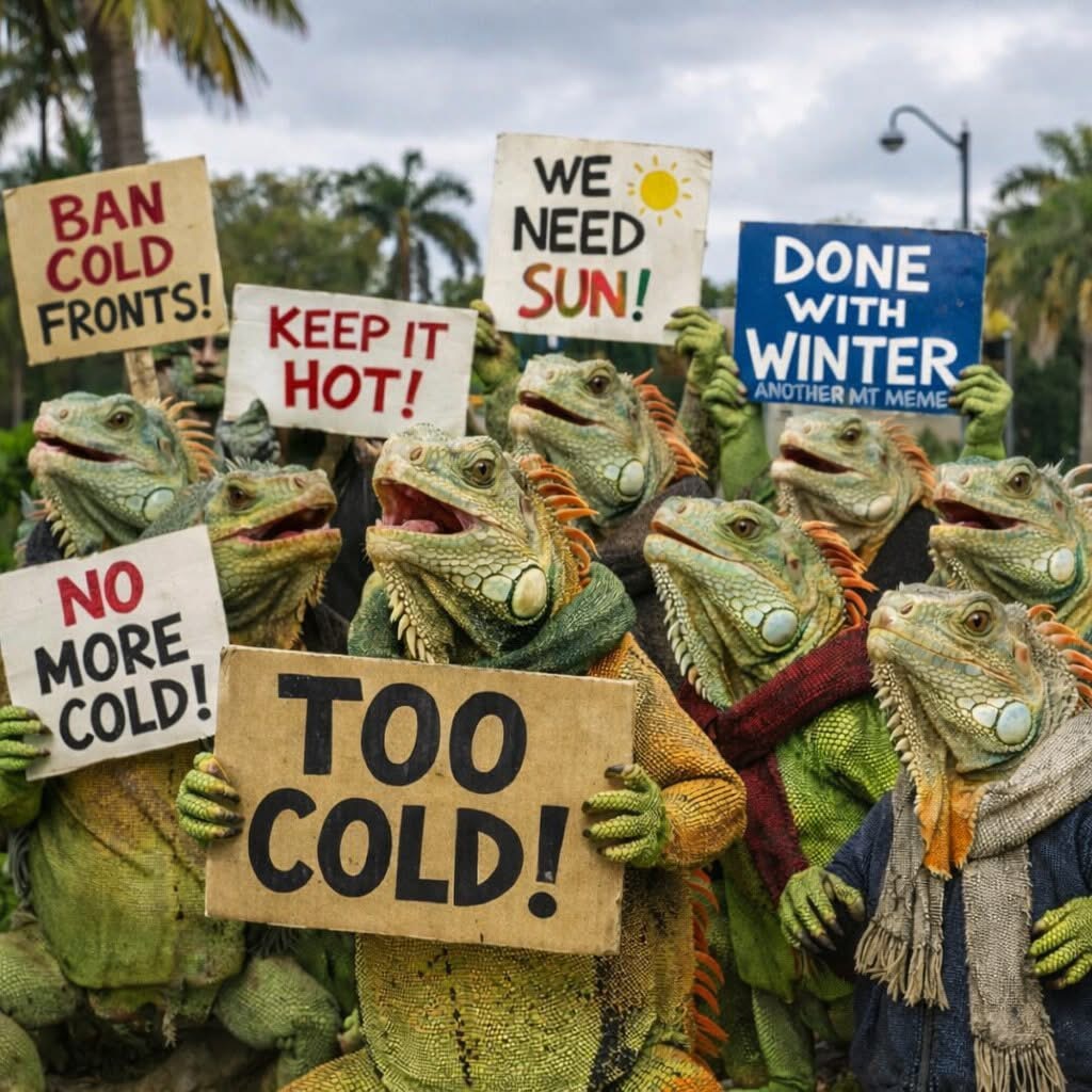
Our coldest months here in the Highlands of South-Central Florida are December, January, and February. Our average afternoon high temperatures are in the low-70s, and our average morning low temperatures are in the mid-50s. A “cold” day is when we don’t reach 70°F / 21°C. A “cold” night is a night in the 40s / below 10°C. We are generally warmer during the day and colder during the night than our neighbors at both coasts some 80 miles away.

This past winter season we had 20 cold days when we did not reach 70°F. 2 occurred in November, 2 in December, 7 in January, 7 in February, and 2 in March. From January 31ST to February 02ND we never got to 60°F, and on February 01ST we never got out of the 40s !

We also had 44 cold nights when we were into the 40s, 30s, and even the mid-20s. 6 occurred in November, 7 in December, 16 in January, 14 in February, and 1 in March. From January 26TH to February 10TH we had 16 nights in a row below 50°F. 3 of those mornings from February 01ST to February 03RD were subfreezing, and they were perhaps the coldest mornings I’ve ever experienced in my 38 years of living here in Florida. Wind chills were actually in the mid-teens on February 01ST, and it destroyed a lot of citrus and vegetation.

It was my 3RD full winter season here in Sebring Florida. (I moved here at the end of the 2022-2023 season.) I previously lived in Homestead Florida for 36 winter seasons. Down there we averaged less than 20 cold days and nights combined per season (compared with 60 to 70 combined days and nights here). This past winter season there were a total of 31 cold days and nights combined in Homestead – the most I’ve ever recorded.

Statistically – I believe that it was our coldest winter season since 2010-2011.

We’re in our 4-month rainy season now. That’s when about 70% of our annual rainfall occurs. We’re also in our 6-month hurricane season. That started on June 01ST and continues until November 30TH with peak season being September and October. Hopefully the rain will fall, as we’re recovering from an extreme drought – our worst in at least 25 years. Hopefully the hurricanes will stay out at sea.

Next #TravelThursday – I’ll look back at past visits to “The Bluegrass State” – Kentucky. Let’s keep traveling together.

All rights reserved (c) 2026 Christopher M. Day, CountUp

Categories
Blogging Driving Food Geography History Holidays Home Movies Travel Weather

My Final Morning In The DFW

Welcome back to #TravelThursday. Last week I wrote about the start of my last full day in North Texas from November 26TH to December 06TH. (It was another movie and another lunch out for me and my brother.) We saw the movie in the longtime movie theatre building that we saw many movies from the Summer of 2007 to the Summer of 2013 – Cinemark Legacy in north Plano along U.S. 75. It’s been there since the late-1990s. My brother used to live in neighboring Allen, and that’s where we enjoyed our West Philly-style cheesesteak lunch after.

Fun Facts: Over 400,000 residents live in Plano and Allen combined. They are located about 25 miles NNE of Downtown Dallas – a straight shot down U.S. 75 (also known as the North Central Expressway). The frequently congested freeway was built in the 1950s and 1960s from south to north. It greatly contributed to suburban sprawl northeastward from Dallas into Collin County. About 1.3 million residents call Collin County home. In 1960 the population was a little over 41,000.

On that Friday December 05TH I spent much of the rest of the day packing and preparing for my return trip back home to Florida the next day.

My last morning was the start of yet another cold, cloudy, and foggy day in the #DFW. Hopefully incoming and outgoing flights wouldn’t be affected by the low ceiling. No need for me to worry about things I can’t control.

My brother went out early in the fog to his favorite local family-owned donut shop. (There are lots of them all around the area – most of them in strip shopping centers. They all seem to have a nondescript sign in front of their space that simply says “DONUT” or “DONUTS”.)

My brother got me a cronut and an apple fritter. I don’t think I’ve ever experienced a cronut before, and my brother wanted me to try one. Mine was like an extra-thick honey-glazed donut, or two such donuts fried together as one. (It’s essentially a croissant-donut hybrid that’s made with croissant dough and then deep-fried like a donut.) I would eat another one if my brother got me another one on my next visit to Texas. The apple fritter is just a personal favorite pastry of mine.

After short hugs and goodbyes to my best canine friend, my two nieces, and my sister-in-law – me and my brother headed to Dallas-Fort Worth International Airport (#DFW). The fog continued the entire way, but it wasn’t too thick.

I checked-in at Terminal B. My checked suitcase was a few pounds heavier than it was 10 days earlier when I flew into Texas. (I think it was up to 36½ pounds.) TSA PreCheck was a bit weird. It had its own dedicated line, but it ended up at the exact same CT X-ray bag scanner line for everyone else. The TSA agent simply took turns with both lines asking the next person to step forward. So – it was weird, but I only had to wait an extra minute or two to place my carry-on bags in the bins to be scanned. I did receive a card that identified me as TSA PreCheck. I gave that card to the next agent, and I went through a dedicated body scanner.

I had to wait awhile on the other (secure) side, as the bag scanner was “hiccupping” as my bag was being scanned – as well as the bag ahead of mine (belonging to someone else). So – they had to pick-up those bags / bins and rescan them. All was good after that.

I headed to my gate after that, and then when the gate changed to a few gates away – I moved there too. (It actually changed from B18 to B17 to B14 to B11 in less than 2½ hours that morning.)

And then it changed to a completely different terminal (D) just 38 minutes before boarding would begin. That annoyed those of us who were sitting comfortably at Gate B11 – including a pilot. Now we had to walk fast to pick-up the Skylink to reach the new terminal and gate. I’ll let you know how that went – next #TravelThursday. Let’s keep traveling together.

All rights reserved (c) 2026 Christopher M. Day, CountUp